Tag: #FairShare4Harlem
-

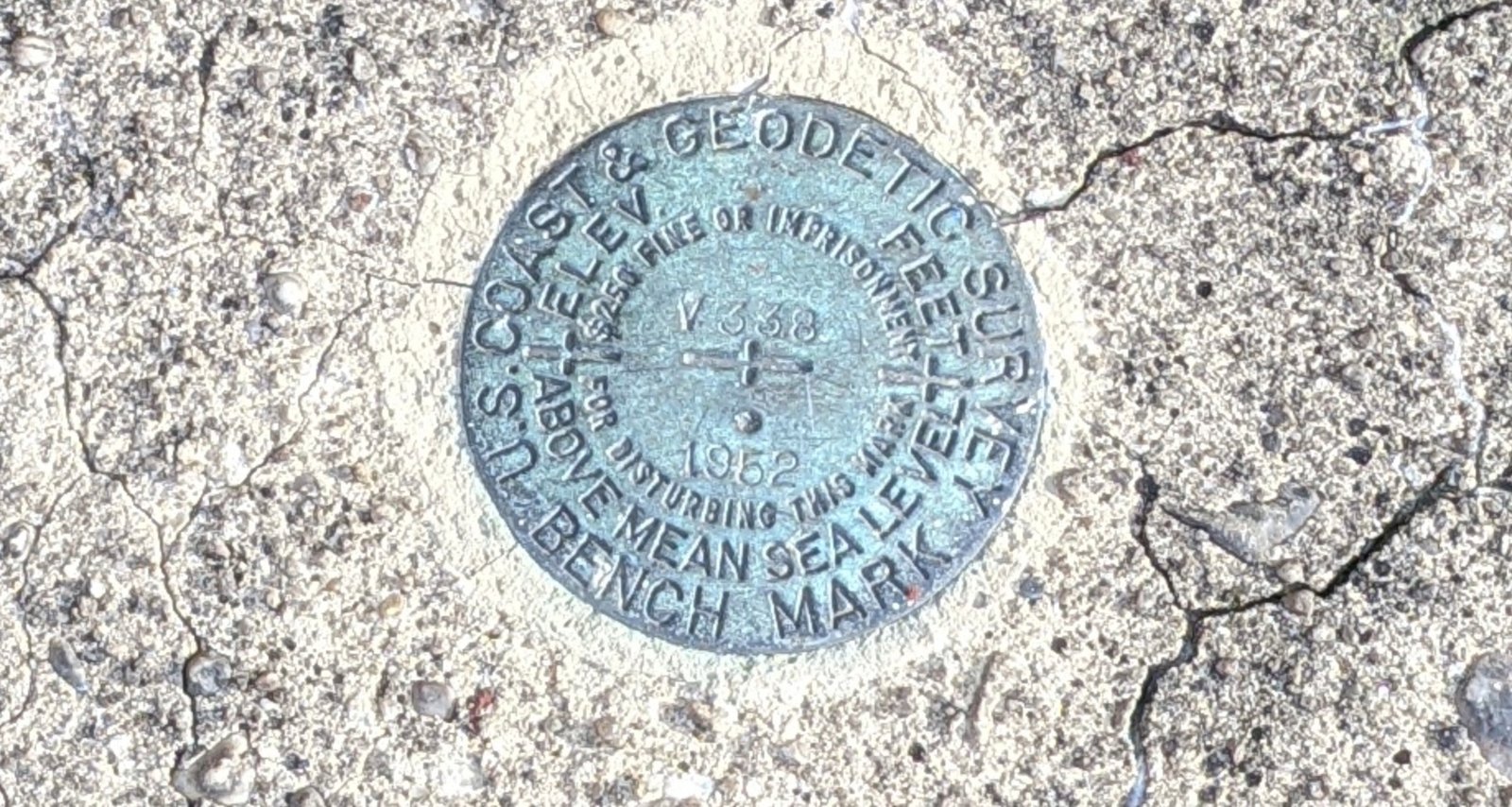
Just Looking Down
Walking past the Fred Moore School with it’s great (sanctioned) graffiti: I looked down and noticed, stuck in the concrete of a window well, a geodetic bench mark from the US Coast and Geodetic Survey: Locating a survey marker in a window well seemed a poor choice, given that the wall of the school restricted…
-

Your Voice
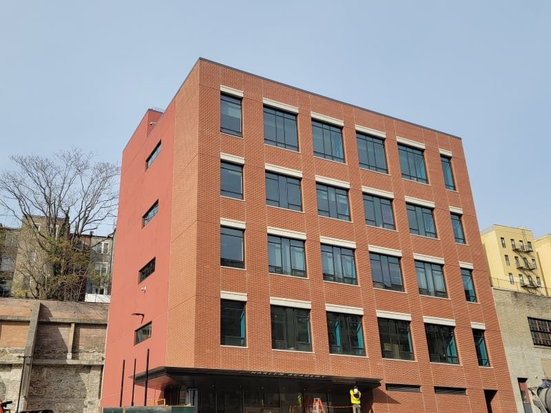
New York State and New York City politicians can’t read your mind. If you want change in the community, then here’s your chance to speak to Albany or speak to City Hall. Please reach out to: GreaterHarlem.nyc/Volunteer to learn more and connect with other neighbors who want #FairShare4Harlem Harlem Academy’s New Building Harlem Academy has…