Category: Harlemscape
-

Mount Sinai Morningside to open $78.5M facility in Harlem
A new facility combining and expanding services for Mount Sinai Morningside and the Mount Sinai Hospital will open during the fall, the hospital system announced Thursday. After years of protesting, organizing and collaborating, The Greater Harlem Coalition got Mount Sinai to not place even more drug treatment programs in this new facility, nor to send children with…
-

A Modest Proposal: Density
Gotham Gazette has a well thought out essay on how density should be a planning goal for our community in light of the 2nd Avenue Subway extension: High-quality planning and significant upzoning could boost ridership on the new line and remake East Harlem into a place that more comfortably accommodates current and future residents–of all…
-

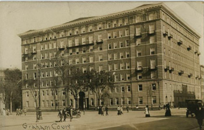
A Postcard of Graham Court
Graham Court Apartments were built on Adam Clayton Powell Jr. Blvd between 116th and 117th Streets. One of the Astors (think Astor Row on 130th Street and Astoria and Astor Place…) built the complex in 1901 using the architectural firm Clinton and Russell, The complex has a gracious entrance and courtyard and is 8 stories…
-

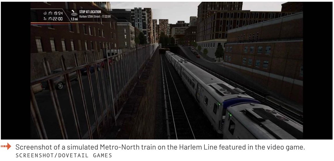
Drive Metro North
If you’ve ever taken Metro North and wondered what the view would be like at the front of the train – driving it – there is a new video game out that allows you to drive a train from Grand Central to Harlem, and then up to White Plains In the screenshot below you see…
-

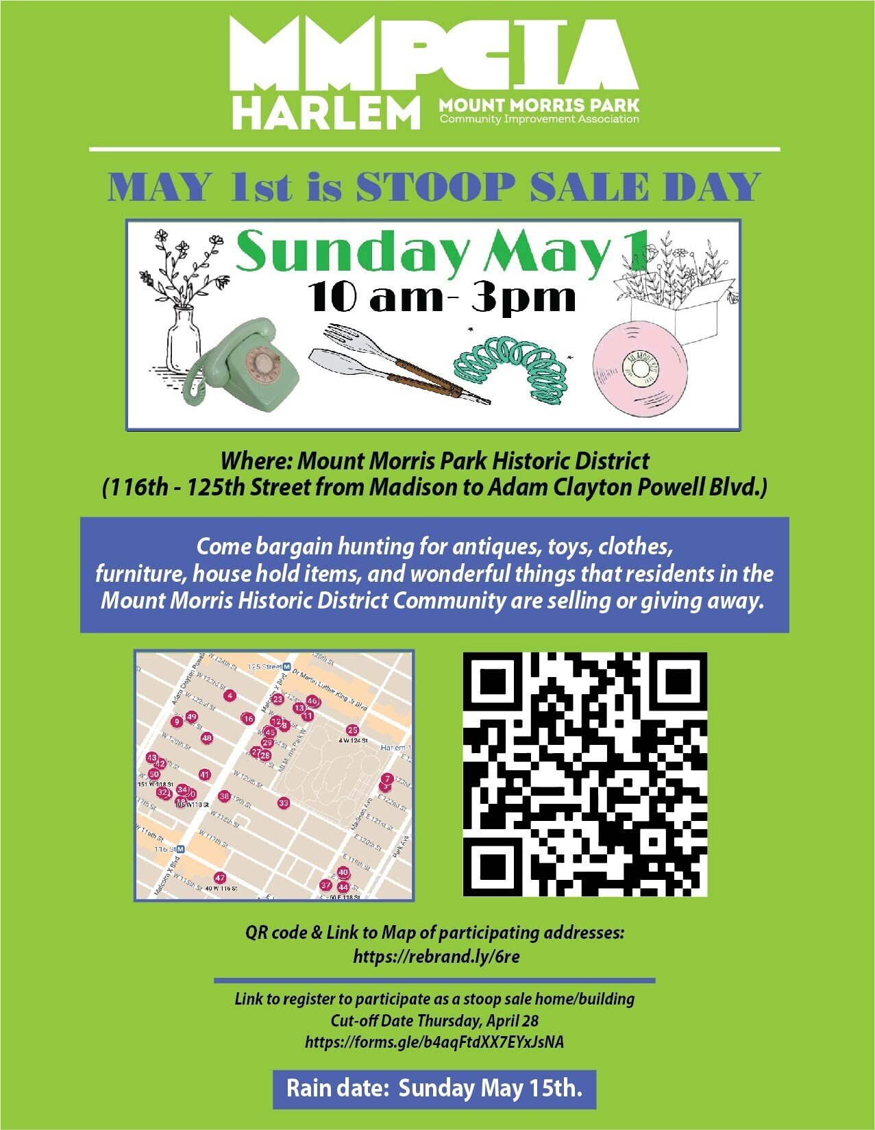
Stoop Sale on Sunday
The weekend weather looks amazing. Hope you can come out to the neighborhood-wide stoop sale: Demolished Church Lot and Trash Before the pandemic, the brownstone Metropolitan Church at the corner of 126 and Madison was demolished and a fenced-off rubble lot was left. A number of neighbors have complained about dumping and trash build-up on…
-

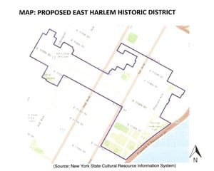
East Harlem’s First Historic District
Landmarks East Harlem has been working for 8 years on designating an area around the East River Plaza to be designated a Historic District. With the support of the Municipal Art Society’s (MAS) Livable Neighborhoods program and SHPO, LEH organized public information meetings for property owners to explain the implications of State and National Register…
-

Viaduct, 155th Street, Harlem Bridge
The view of this photo (looking back and up to Harlem – if you were headed to the Bronx you’d be traveling to the right and down) shows a recently competed 155th Street Bridge that now goes from Harlem over to the Bronx near Yankee Stadium. Note how isolated many of the buildings on the…
-

1880 Birthplace
When Harlem’s identity shifted from village-outside-New-York, to suburb of New York in the late 1800’s, the ethnic makeup of its residents displayed striking patterns. Looking at the map below you immediately notice the blue lines following avenues (more likely to have commercial space below with business owners or employees living above). These blue dots represent…
-

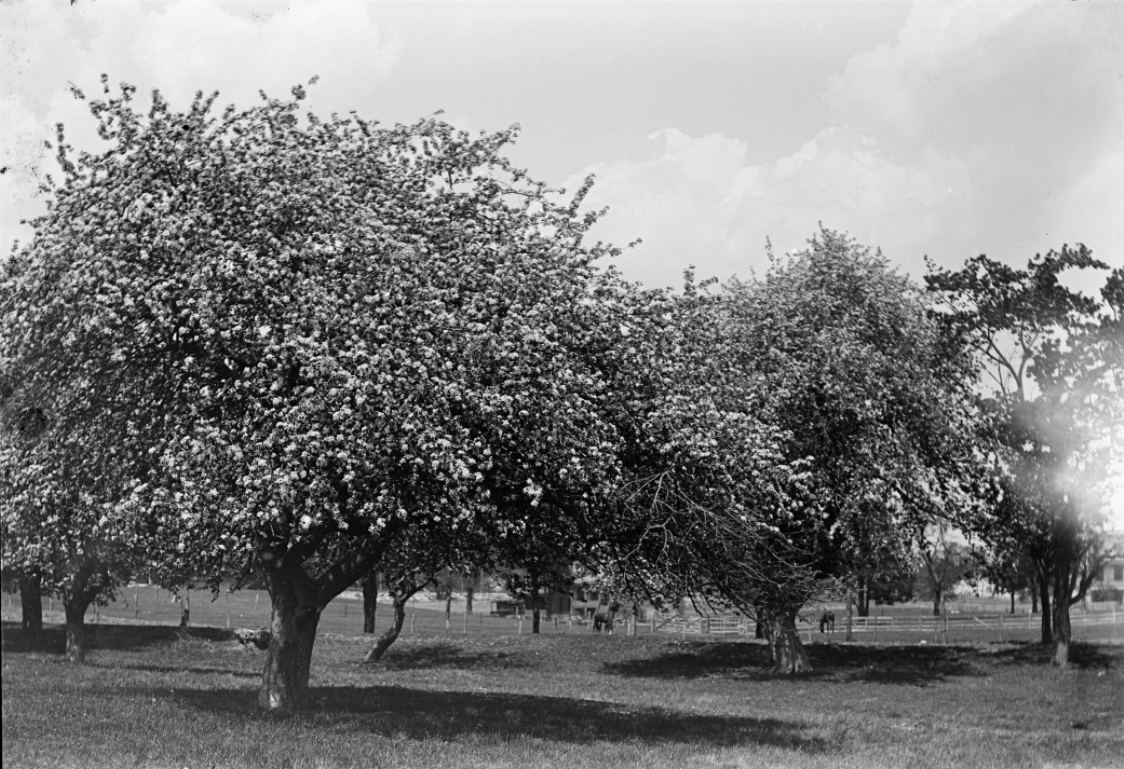
Apple Blossom Time
Spring, of course, means blossoms and in Harlem today the most common blossom is from the Callery Pear. Over a 100 years ago, a few apple orchards still remained in Harlem. This 1893 photo of apple trees in Harlem by Robert Bracklow, shows an orchard of mature trees in blossom. Sadly, but understandably, it’s in…
-

25th Precinct Community Council Meeting, Tonight
The 25th Precinct’s monthly Community Council Meeting is tonight – April 20th at 6 PM. There is a location change – instead of meeting at the Precinct, the meeting will be held at Bethel Gospel Assembly – located at 120th Street between Madison and 5th Avenues. Please be prepared to stop at the security area to…
-

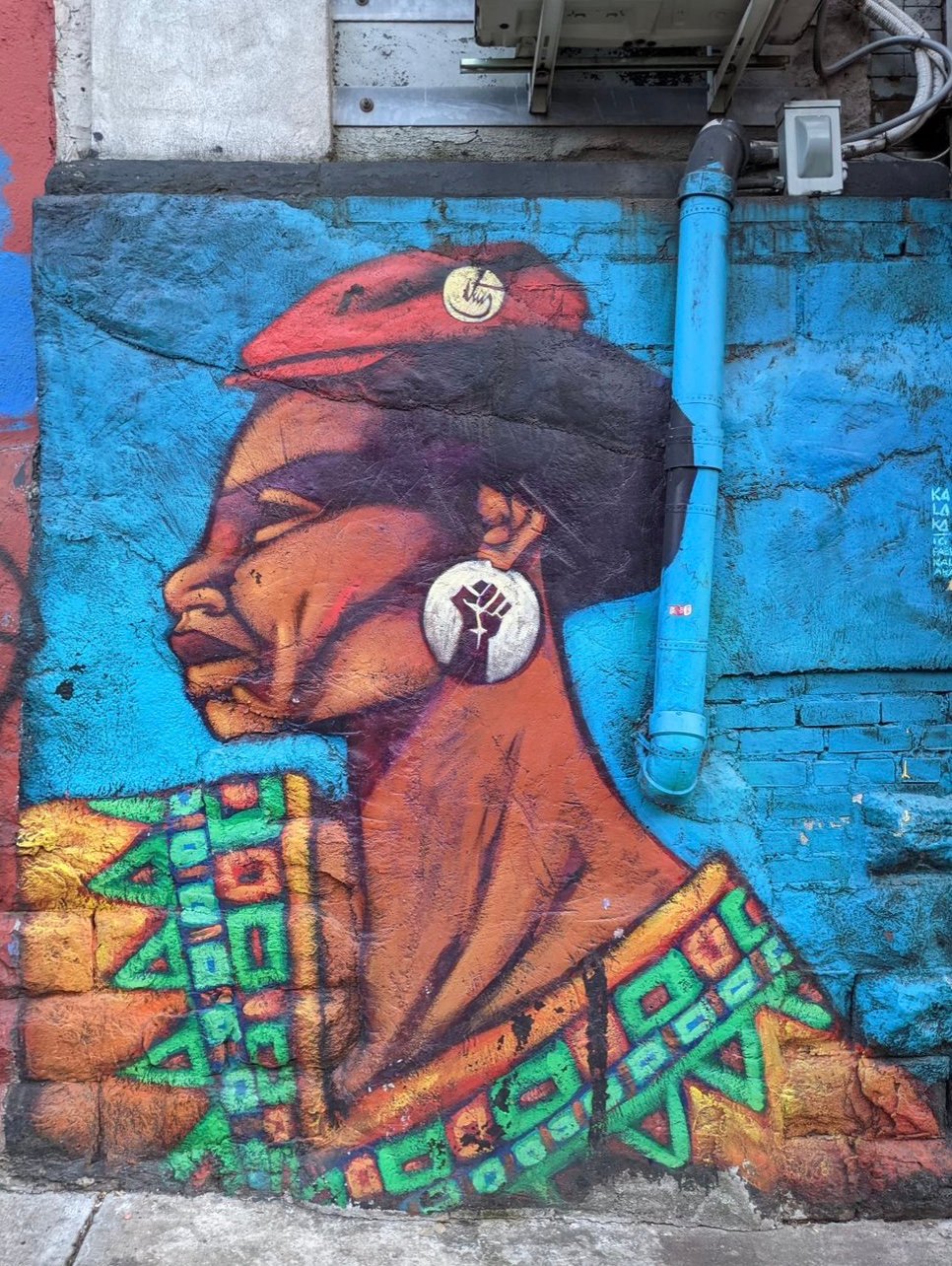
Education Is Not a Crime
-

Disadvantage
The US Government has a climate and economic justice map of ‘disadvantage’ which looks at census tract information and collates a variety of factors that indicate disadvantage or advantage. The resulting national map is fascinating to explore to not only see where these census tracts are, but the data that underlies the designation. Communities identified…