Tag: Central Harlem
-

Participate in a climate vision for Harlem
Are you concerned about climate change? How it affects Harlem? You can participate in a local project called Pathways to Earthseed. A local climate organizer, Dominique Thomas is currently collecting responses for a survey around the experiences of Black Harlem residents. You can find the survey here. Her project is supported by the Climate Justice Design Fellowship through…
-

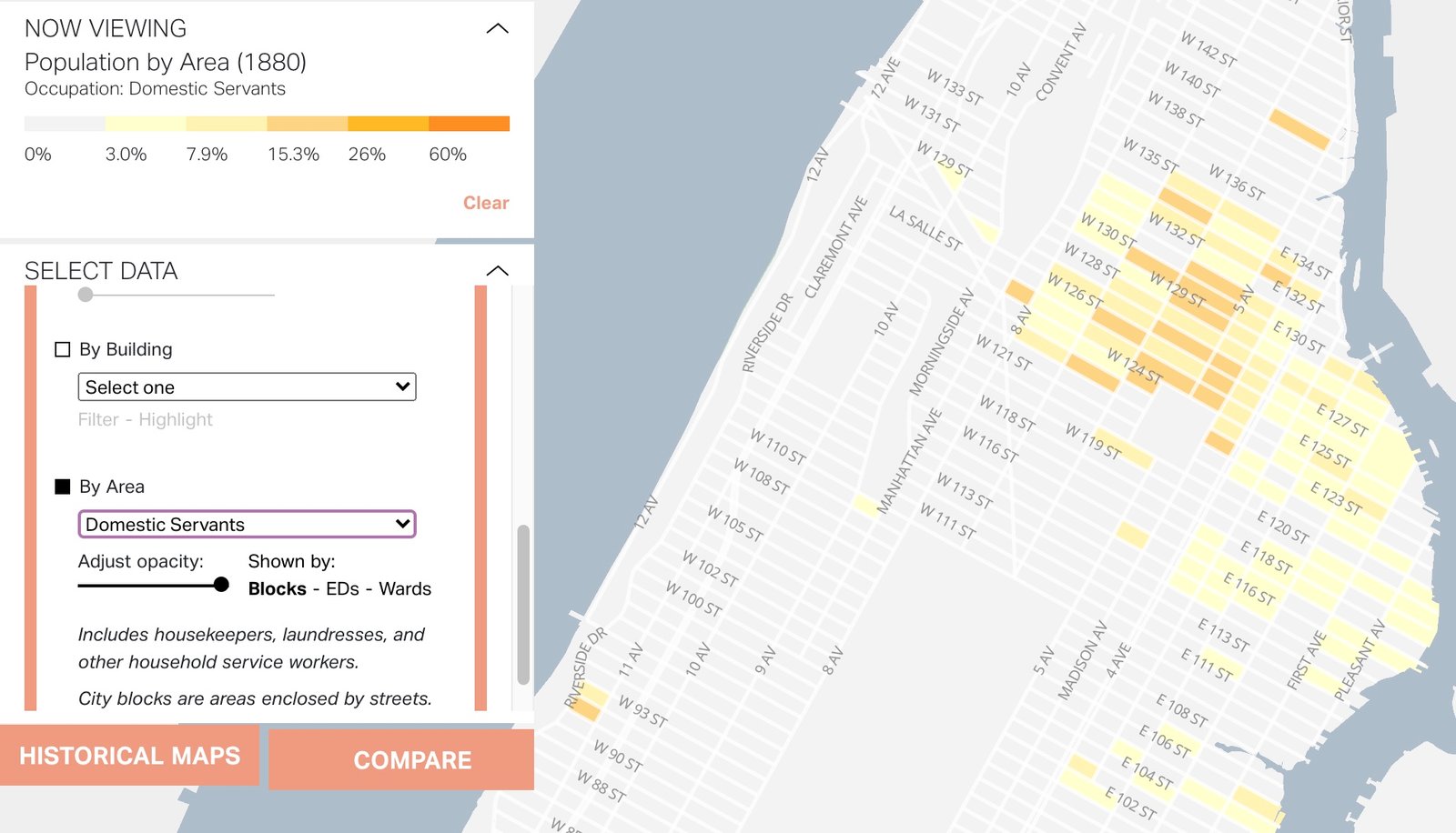
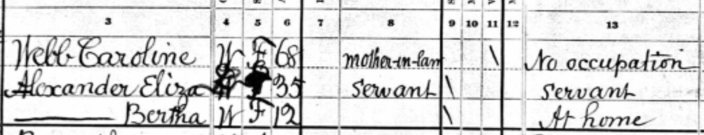
Craftspeople, Doctors, and Domestic Servants in 1880
Mapping Historical New York allows you to look at the geographic distribution of trades in 1850, 1880, and 1910. Given how sparsely Harlem was settled in 1850, it’s really only the 1880 data and beyond that shows clear patterns. This first map is of Craftsmen in 1880. Note their presence in the Upper East Side…
-

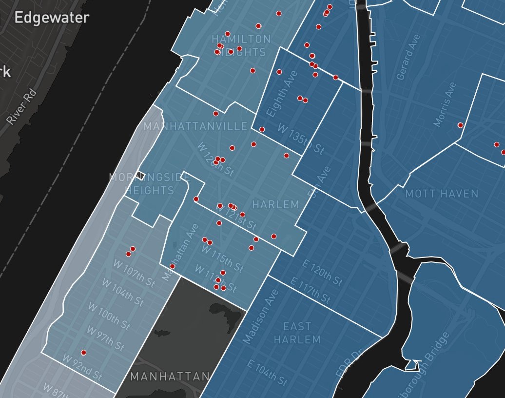
1880 – Where Did Women Live?
This fascinating map of the density of women in 1880, shows how Central Harlem housed many more women than East Harlem (the darker the color, the more women per block – data coming from the 1880 census). The answer is partly visible in terms of the buildings built in 1880 above 125th Street in Central…
-

East Harlem Was Harlem
In 1880, Central Harlem was just starting to be filled in with residences and people. West Harlem, and the Upper West Side, for that matter, was nothing but farmland. In the map (above) of populated blocks, note how much of Manhattan’s development was east-side based. The East River, not the Hudson, was the waterway of…
-

Worst Landlords
The Office of the Public Advocate’s Worst Landlord Watchlist is an information-sharing tool that enables tenants, public officials, advocates, and other concerned individuals to identify which residential property owners consistently flout City laws intended to protect the rights and safety of tenants. The vast majority of this list of infamy are in Central Harlem. Not…